Google Maps
-
4.3
- Free Price
- Travel & Local Category
- Google LLC Developer
-
NameGoogle Maps
-
PriceFree
-
CategoryTravel & Local
-
Rating4.3
-
DeveloperGoogle LLC
Latest Update: Select the Eco-Friendly Route for Your Vehicles
Google Maps is rolling out an eco-friendly routing mode which allows users to choose different routes according to their power type of vehicles so that the consumption or regeneration of energy can be more efficient. This feature has been out in the US, Canada and dozens of European countries. Update Google Maps now to save energy and help protect the environment!
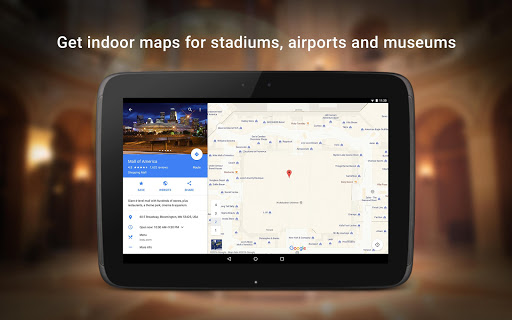
Developed by Google, Inc., Google Maps is a free app that helps you to navigate and explore your world easier and faster. It provides the services of electronic maps including the detailed photos of the satellite.
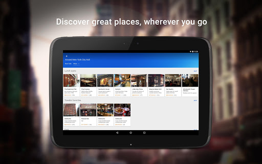
It is available for Android, iPhone, iPad and other tablet devices. With Google Maps you can find the best spots nearby and the information you need to get there.
July 19, 2022: New Appearance for Shared Location Pin
Recently, Google Maps has refined its shared location pin to better match the app’s clean design. The pin icon now removes the white border of your contact’s profile photo, which makes the profile more visible. This new appearance will arrive to users gradually via a server-side update.
June 23, 2022: Google Will Let LGBTQ-plus Merchants Tag Their Businesses In Maps
Google is adding a label to Maps that lets people identify their business as being LGBTQ-plus-owned, joining Yelp, which has a similar label. The labels can show up throughout the Google Maps interface, and you can also search for them by typing in “LGBTQ-owned businesses,” for example.
June 17, 2022: New Android Widget To Show Live Traffic Around You
A new widget for Android will show live traffic around you not just in the app but in a widget you can access on your lock screen. Google Maps already provides estimated arrival and travel times, and indicates when there is less or more congestion on your route with yellow/orange/red colors. The feature will work with zooming in and out to see traffic in a specific area without needing to look at the wider map in the app.
June 14, 2022: Add Up Tolls To Give The True Cost Of Road Trip
Google Maps adds up tolls to give users the true cost of their road trip. Users in the US, India, Japan, and Indonesia will be the first to get toll data in Maps. Access is also currently limited to Maps on Android and iOS devices.
June 13, 2022: Google Maps Can Now Tell You Where to Find Clean Air
Google is bringing air quality data to Google Maps on iPhone and Android.The mobile Google Maps applications will soon have an Air Quality map layer, available from the same map menu that has toggles for traffic data, 3D objects, wildfires, and other data. When enabled, the layer will display points on the map for weather stations, with each point’s color corresponding to the air quality index — green is good, orange is worse, and red is bad. You can also tap on a point to see all available data.
May 13, 2022: New Immersive View Feature
Google Maps is working on adding a new Immersive View feature, which will allow users to explore cities easily. This new feature combines Street View with aerial images, creating a 3D model of the world and adding an extra depth to allow you to view a city from the top and drill down to view more details of a specific location. It will even show you helpful information like how busy a restaurant is at the moment. So this new feature not only gives you an easy way to navigate by using the digital model of a place, but also offers you an immersive feeling. After debuting the feature in Tokyo, London, Los Angeles, New York and San Francisco, it will expand to more cities in the future.
Features
It is accurate and comprehensive because it contains 220 countries and territories.
Function of voice guiding makes it more attractive.
Include over 15,000 towns and cities in the map.
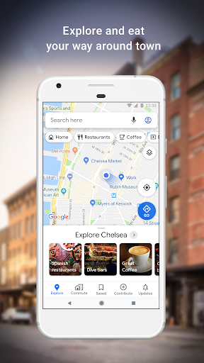
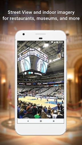
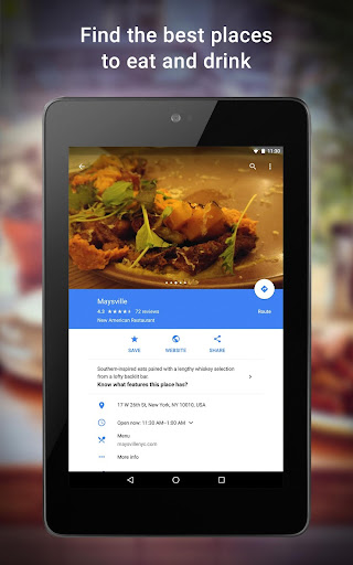
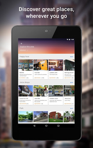
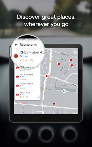
Users can have the overall view of the street and different places including restaurants, shops and so on.
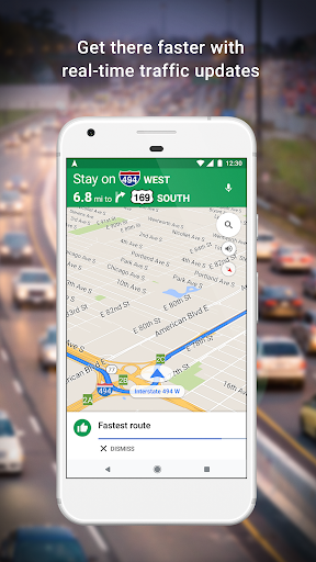
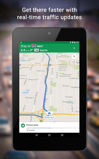
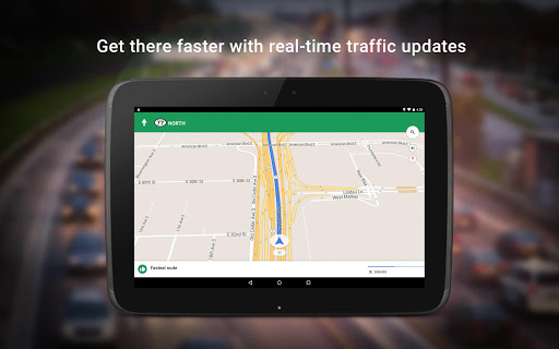
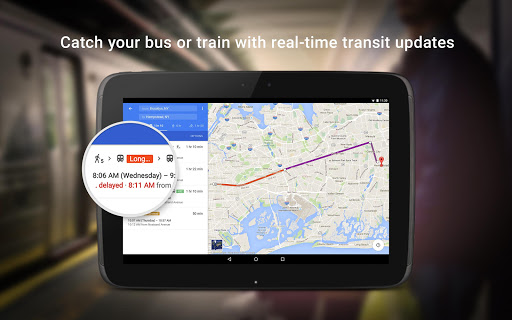
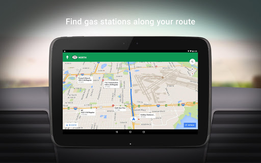
This app will show you the live traffic conditions for you to choose the best route.
How to operate the google maps?
Searching Method
Search directly in the google map and the application will show the detailed coordinate. Except for this method, you can also scan through the google earth.
Operating Method
Enter the longitude and the latitude in the fly to, then you can get the location directly.
You can get the screenshot image if you enter Ctrl, Shift and E together.
Click the file you want to export with the right key on the mouse and choose "save as" in the menu, then you can get the location file you want.